|
| Santa Cruz Island |
 |
| My route in blue |
This was one of those days that, from the outset, I had no real plan for. I had heard a rumor of a weird spring that bubbles up from below a formation of rock somewhere in the neighborhood of Faser Cold springs near Middle Sespe. This spring is supposed to have some religious, shrine-like connection to the Chumash sun god, Kaqunupenawa. Looking for this possibly fantastical spot was about the only thing on my agenda as the sun crept over the eastern horizon. I didn't know that the day would evolve into a spontaneous adventure.

I pulled into the entrance to what used to be Beaver Camp on Hwy 33, shivered in the cold sun for a bit, and set off heading up the Sespe. For a time I was able to follow braided use trails, but these peetered out within a third of a mile. Soon I was back to what has begun to be my normal environment, busting brush. This shit got thick in a hurry, and the chokecherry was the worst (this is one of the nastiest barbed plants in our hills, going through a thicket of this stuff is like rolling around in a rose garden). I came prepared, in pants, sleeves, and work gloves.
 |
| Swallows' Nests |
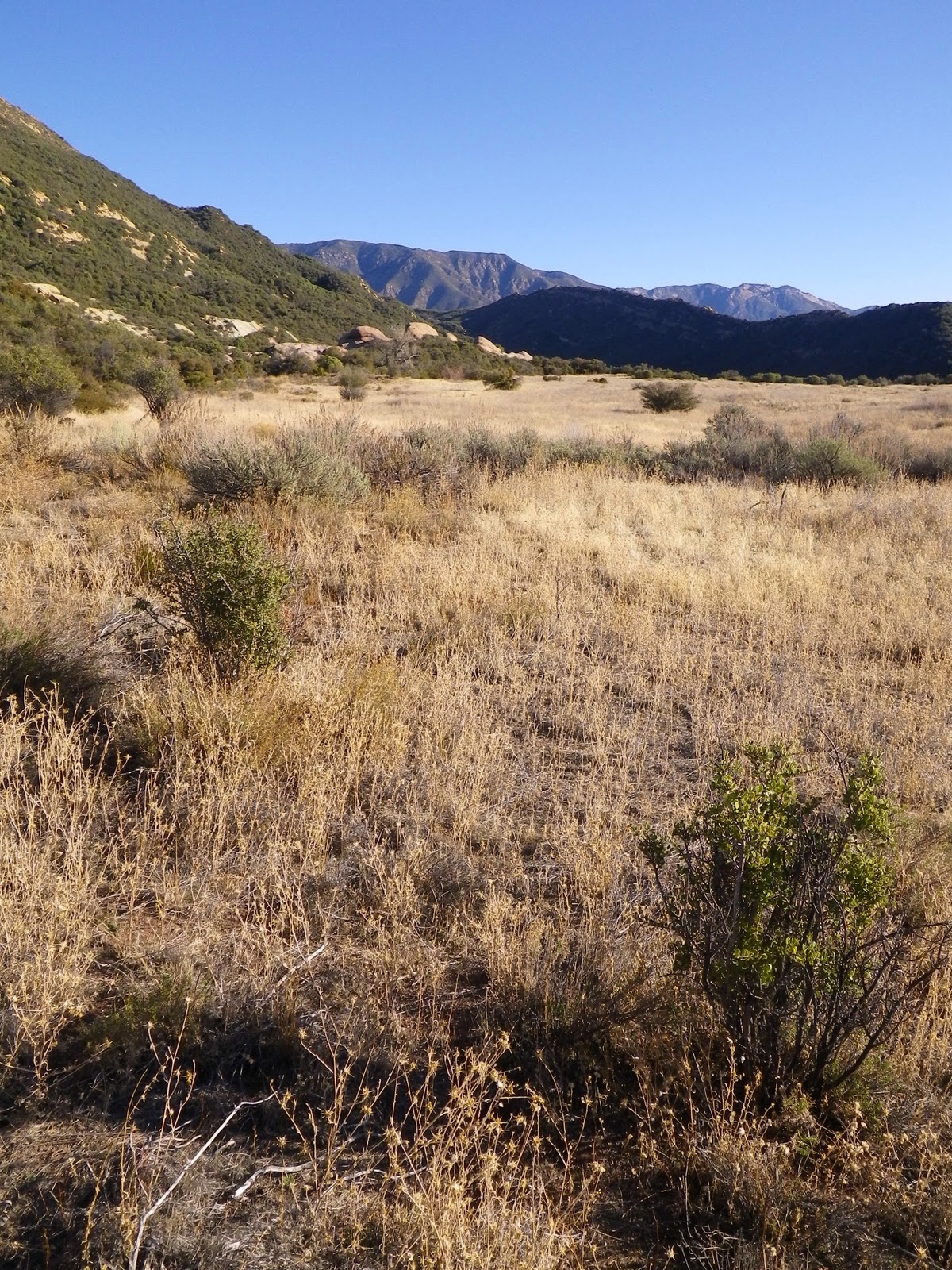
I struggled in the creek for about a mile before encountering the first of the rock formations that are plainly visible from the 33. I started scrambling around on the rock and before long I found a strange trail, carved out of the brush and marked in places with neon tape. This was odd. Following the trail, I was headed north between several formations when the rocks opened up to a small valley, flat, open and grassy. Again, odd. A mystery valley.
 |
I found this on Sespe Creek. It's a perfectly mummified cat fish.
The knife is 6' long so you can figure the length. |

As I explored this small valley I encountered numerous game trails and the tracks of numerous animals. I startled coveys of doves every time I rounded a patch of brush, I mean hundreds of them. Putting 2 & 2 together I figured that the trail with the neon tape was made as a secret egress to this little valley, for the purpose of bird hunting. Intermittently I would discover a shot gun shell or two which reinforced this guess. Still, I hadn't located any lost Chumash holy spring. As I wandered the edges of the valley I started heading up an unnamed watershed to the ENE I found animal tracks and rock formations but little else. Figured I'd best start heading back. I was wandering down a dry creek bed toward the Sespe when I encountered something that put me on high alert. It was a reasonably new, forest green irrigation hose, about 4" diameter. There's only one reason for a hose like this in a place nobody visits, and that reason is for the illegal cultivation of marijuana. I sunk down on my haunches and thought this through for a bit. It was obvious that no water flowed through the hose, so it was probably abandoned, and therefore unlikely to be a hazardous place to go. I followed the hose, which was well concealed in the places, for about 300 feet before it terminated in a small, brush-cleared dell under some trees. I found some trash there but figured it was too close to the 33 to require a round-the-clock camping type operation. No, I didn't find any grass.
 |
| Sespe Creek |
 |
The irrigation hose I found, concealed in places.
Obviously an abandoned grow site. |
 |
Rock formations along the northern boundary
of the "mystery valley". |
 |
| Red Tail Hawk feathers |
 |
| The "mystery valley" |
I left the abandoned grow site behind and returned to the truck. It was only 11:00 and I wasn't into being done for the day. Not sure what to do, I turned the truck toward Lockwood Valley. Here's when the day started taking on a life of it's own. As I drove toward Reyes Creek I stopped at the ancient, collapsing Reyes Creek Ranch house. This place hasn't been used since the 70's, and it's heyday would have been in the 40's/50's. The light fixtures date it back at least that far. Most of the building had been haphazardly constructed, one room at a time. The construction is a mix of adobe and brick. An occasional cottonwood limb helps support the ceiling. A few sticks of rickety furniture keep an old Wolf stove company. Out back is a collapsing, spider infested chicken coop. I was about reaching up to climb into the second story (the exterior stairs or ladder are long gone) when I heard a guy say "Don't do that." Ach, caught trespassing! Well, walked over to the guy with a "Howdy.". I beheld a special kind of specimen. He was tall and lean, somewhere between forty-five and sixty, broken down heels on his Tony Lama's, frayed denim everywhere, and a big bush of grey beard under a battered Stetson surrounded a weather beaten visage cracked by deep lines. He knew that I knew that I didn't have any business being on his ranch, so I just stepped up by him and started walking back to Lockwood Valley Rd. He was headed in the same direction. Seems he needed some parts for his old Ford truck and was hoofing it the 4 miles to the 33 so he could thumb a ride into Cuyama. His name was Gary and he smelled like he'd rolled in a campfire, but I offered to give him a lift out to the 33, sort atoning for my transgression. We had a good chat about the ranch and he gave me the name of the real owner of the ranch and where to find him if I wanted permission to be on the ranch. With a "Have a good one." and a rough handshake the old hand was on his way and I turned around, headed for Camp Scheideck.
 |
| The Cuyama Badlands, from the 33. |
 |
| Above and below: The Reyes Ranch house |
For the second installment of the day, click Part 2