 |
| Today's route including off-trail, roughly 18 miles. |
New Day.
New Attitude.
New Eyes.
New Perspective.
This is Rancho Nuevo Canyon (RNC).
The other day I wrote a pretty negative review of the RNC and some of you local boys indicated that I might have been overly critical of this remote and neglected canyon (
see "Deal Canyon and Rancho Nuevo Creek"). I figured that I'd have to go back and not only give the place a fair shake, but I'd have to do some looking around just to satisfy my own feline curiosity ( I got an extra dose of Leo at birth). Turns out that some crows are easier to digest that others.
 |
| 2.4 miles from the trailhead in 35 minutes. Movin'. |
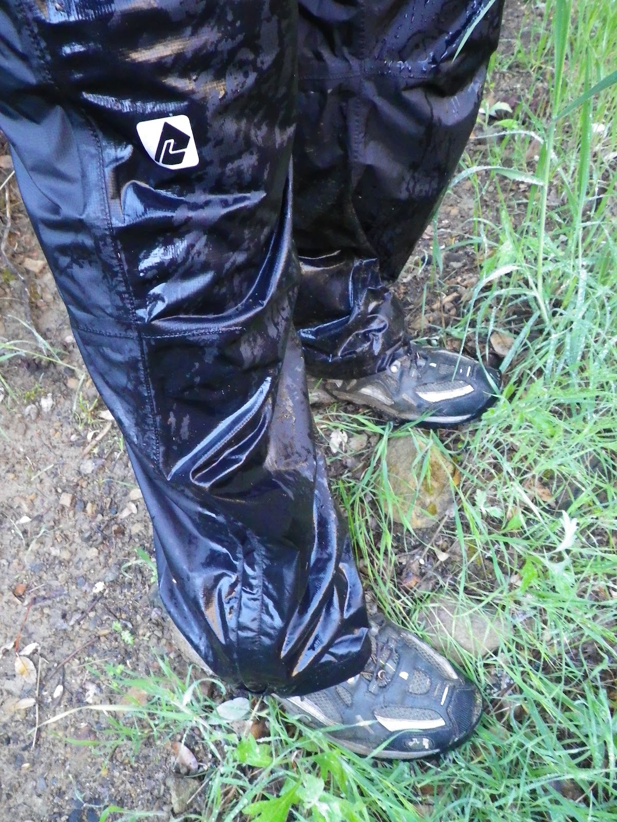
I left the house around 5am, drove up the 33 through low clouds and hanging mists. I strapped in and was moving up the lower RNC by 0700. This last little weather system had brought a shower over night and I just accepted that this was going to be a soggy day. Every plant I brushed (millions) showered my shell pants with a mini-deluge, which of course, ran down the pants and onto my shoes. I was happily squishing along for the next 8 hours of the day. I decided to ignore all discomforts. After all, I had let the heat and the ticks colour my perception last Friday, and by now I was convinced that at that time I'd been so wrapped up in just getting there that I'd probably missed most of the good stuff. Also, last time in, I'd started the day by transiting the adjacent Deal Canyon which is mostly uninteresting, which played into my initial perception of Rancho Nuevo. Today turned out differently.
 |
| High in the center you'll see a horizontal cave mouth. |
 |
| This is me in the above cave. I went about 60ft in before it got tight.. |
 |
| The craggy, creek-side formations of upper RNC are peppered with numerous small caves. |
My self-appointed mission for the day was to get into the upper RNC quickly, and since taking a break while water drains from your shoes isn't all that relaxing, I just kept that train rolling. I'd spent a considerable amount of time studying the topo and had a pretty good idea what I wanted to accomplish, and that required getting into the upper RNC quickly enough that I'd have some time left to play with. We'll get to that in a minute.
Friends, I have an affinity for getting on top of things and looking down. Really, that's the essence of what I do whether hiking, climbing, or mountaineering. I often find that standing above looking down provides me with, duh, a broader perspective. In the case of this brushy canyon land, I knew I needed to get some altitude to change my attitude. You'll see.
 |
| Upper RNC camp lies under the cleft at center. Remember this "notch", it comes up in other photos. |
I said I wanted to be in the upper RNC quickly. I did the 2.4 miles to Deal Junction in 35 minutes, dripped water for a few minutes, and continued upstream. The next 3.6 miles to Upper RN Camp were just as overgrown as a few days before, the creek just as mucky, but I just barreled through. I was within a mile of the campsite by 09:00. At this point the canyon narrows in a couple places where ridges of sandstone descend into the creek. These eroded formations are pocked with small huecos and tinajas, strangely weathered extrusions, and multiple caves. One cave, high up a ridge (400' above the creek) was quite large, tunneling up and into the mountain long past the point that I was comfortable with, though I went as much as 70 feet in. I also scrambled into a couple more caves, these being less impressive. I found no rock art, in fact these caves were exfoliating entire sheets of rotten sandstone flakes, a process that would have long ago destroyed any paintings that might have been.
By 10am I was dripping in partial sunlight at the incomparably uninteresting Upper RN Camp. I would have to get a move on. A low ceiling of clouds was slowly sinking onto the canyon from the west. The temperatures were balmy, the sprinkles light, the air so humid that it all reminded me of a hike I used to enjoy when I lived on Oahu... except for the thorny wild rose everywhere (sigh), those claws quickly killed that day-dream. I followed the creek through a large "S" turn and entered into the "real" upper valley. This is where I changed my mind about this place. I was suffering the realization that I'd short-changed this place when a condor crested the north rim of the valley. The gods have finally smiled from on high.
 |
| Charred bovine bones. |
 |
| Click to enlarge. |
 |
This bluff marks the southeastern rim of upper RNC
(center right in panoramic photo above) |
 |
| California Condor |
The condor made a few lazy passes before heading north. I continued my sodden, thrashing exploration of the valley. I continued well up the creek, past a site marked on the map as a "sulfur spring", and crossed to the north side of the creek. All this way I'd been comparing between the map and an on-site recon, which shoulder of the north rim of this valley would be the most sensible line of ascent to the crest, and from there to a rocky point called Lizard Head. In the end I opted for a direct line, climbing straight up a 40-45 degree slope. From the valley floor this was a 900' elevation gain in 3/10's of a mile. I red-lined the tachometer and busted it out in 35 minutes (I'm not mental, I'm training for a Sierra spring). On the crest of this amazing ridge I spun in huge, panoramic wheels, downloading this incredible scene. Below lay upper RNC, a great sink rimmed on all sides by a strange collision of rocky bluffs and sharp ridges. From above it has the appearance of an astroid crater, or a dormant caldera.
This narrow ridge upon which I stood snaked downward to the valley floor over a mile away. The lowering clouds were now at eye level, and blanketed the southern rim just across the way. I moved WNW along the ridge, climbing through the drizzle until I was passing through cloud. At times the visibility reduced to about 50 feet, and then, out of the gloom, a sharp point of rock jutted from atop a large formation of swiss-cheesed sandstone. This is Lizard Rock, a point of rock high above the absolute middle of nowhere. I scrambled up the low angle side of the formation until I stood on top, now drenched to the skin. I started looking for a way to get down below to the base of this pile. It was a cautious descent, slippery with wet, exposed to a long fall, and a little dicey in a few places. The base of Lizard Head is actually in a pretty effective rain shadow, due to the overhanging rock above (similar to, but much larger than Lizard's Mouth on E. Camino Cielo in S.B.). I took a good break under this dramatic point of rock.

 |
| This stunning ridge is bisected by the "notch", the only gap in this northern rim of the canyon. |
 |
| Must see! Click It! |
 |
| Lizard Head from about .25 miles away. |
 |
| The ridge line east from Lizard Head. Upper RNC below the mist. |
 |
| A soggy business. |
 |
| I descended this amazing ridge back to the valley floor. |
 |
| The upper RNC "notch" |

As I sat under this massive overhang of weathered stone I knew that I sat where a number of others had sat, though few of them had been white. The sense of timelessness caught up with me. I started drifting into some very esoteric territory before snapping to. Time to leave. I found an easier escape route than the one I'd used to get under Lizard Head, and scrambled back up to the ridge. From there, I skidded down the serpentine spine of a long and winding ridge. I soon passed out of the clouds and under the ceiling. Below me once again was the dramatic pothole of upper RNC.

I got right off that mountain in a hurry and continued on cross-country through a gentle, warm rain, eventually passing by URNCamp and reacquiring trail. Within a couple miles the rain ceased and I was on my way out. I blew through the Deal Junction and settled into the last 2 miles of the day. As I descended into this ruggedly beautiful gorge, some of the clouds broke up and I was treated to a technicolor light show. As you can see, this made for good photography.
 |
| Lower RNC. Way pretty. |
 |
| Rancho Nuevo trailhead. |
In conclusion, I must admit that I was wrong about this remote and unfriendly canyon. Truthfully, I'm happy to make that admission. I felt pretty alive today, and I brought my A-Game. I navigated off-trail through a forgotten wilderness, explored empty holes in high cliff walls, climbed above it all and owned it for a day.
 |
| Tinta Canyon in the distance. |
 |
| How's this for a parting shot? Taken near Potrero John, Hwy 33. |


Vindication for RN!
ReplyDeleteIn all seriousness though, glad you decided to give it another try. That S-turn the creek goes though just above the URN meadow is pretty cool; it's like the gateway to the upper RN. We climbed up to a high point to the south of there to get a good overview. Looks like you can follow RN Creek back for quite a few miles as long as you don't mind the Rose and that thorny ceanothus!
Stoked you made it up to LH Peak. That was on my list of goals for my trip out there but we simply didn't have the time. I think there might be a way to descend the north face of the peak down into a little canyon that empties back into RN Creek from the west. Haven't studied it really on the maps, but that description sorta' matches what one of the regulars at Reye's Creek B&G told me one afternoon over a couple of beers.
One of these days...
Damn bird. . .condor. . .shows up the day I'm not there.
ReplyDelete