 After a couple of stressful weeks I needed to get outside, and I decided to do something hard. You know, one of those really desperate goals that you never seriously consider doing. By the end of it all I had hiked 22 miles and gained around 6,000ft. This is the only time of year that one can really push on the peak trails of the Los Padres. In another month all those long trails will be very exposed to the sun and the temperatures will soar. At that point I will most likely be found in the Matilija and other local watersheds.


 Yesterday was perfect for a masochistic trek with cool breezes and mild temps. A couple of weeks ago I summited Santa Paula Peak, and a couple weeks before that, Topa Topa with the Geezers. Hines is a whole other animal. I have come to the realization that, by peak-bagging standards, Topa Topa is actually a nice, moderate hike. I started at 07:30 from Sesar Road and ground out the miles through White Ledge and up to the Red Reef. Up on the ridge, instead of finishing the Topa Topa summit stretch I kept to the road heading east past the tank trap. This trail was nearly overgrown prior to the Day Fire but is now wide open.


 At the saddle behind Topa Topa, Hines Peak isn't quite visible and I was a bit dismayed by how far the final two miles to the Lady Bug/Sespe junction seemed. Basically this was new territory for me and being solo, I immediately realized the potential for serious problems if I were immobilized. This is something that always concerns me when I'm on unfamiliar ground by myself. I think of it as a healthy paranoia. I mentally hunkered down, put one foot in front of another, and started up the steep summit ridge to the top of Hines. At times this ridge pushes a 40 degree scramble and I spent much of it kicking steps in snow. Finally, the summit, and not a very interesting one. There is no USGS marker, no register, no comfortable place to collapse, just some brush and loose rock. The views of the back-country are far superior to those from Topa. Looking north and east is like staring at a topo map of the Sespe, though the distances and the severity of the terrain are amplified. I know that sounds dumb, but you weren't there.
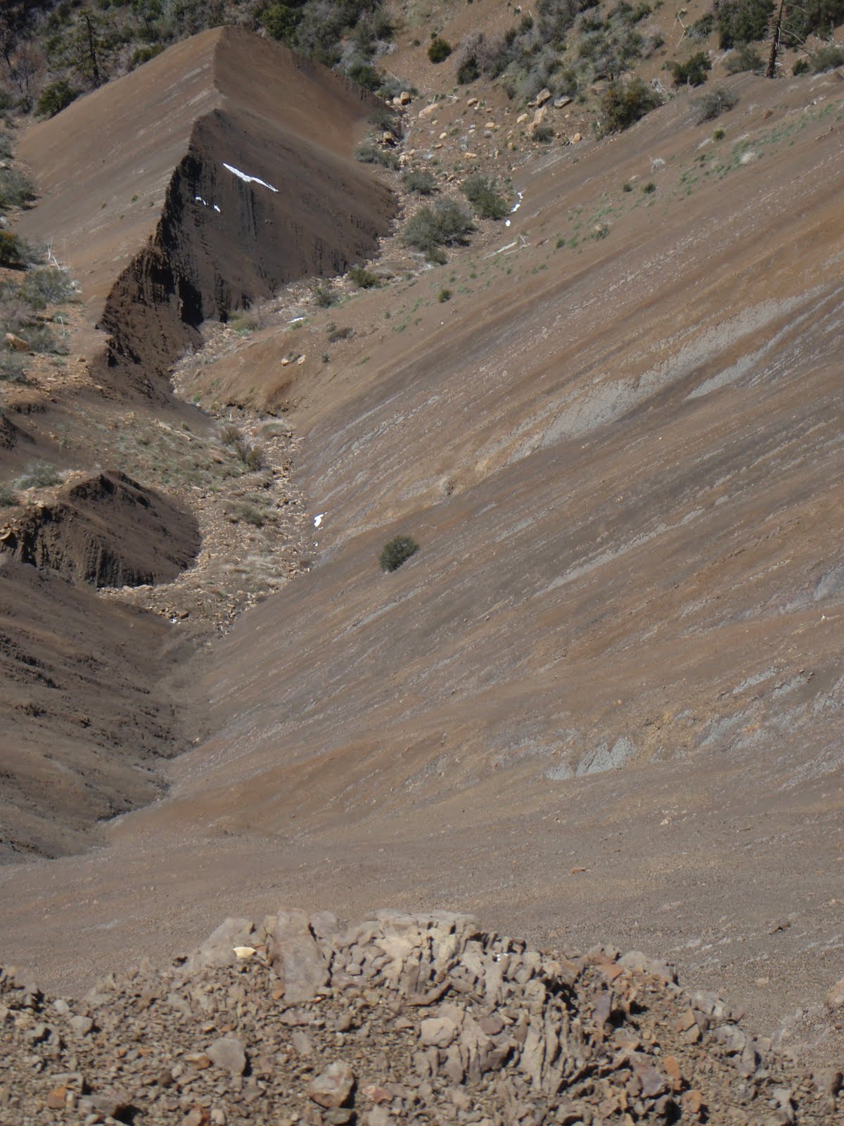
 After carefully picking my way down Hines I backtracked toward Topa Topa. Arriving at the summit I dropped into the lounger and just kinda let my brain go for a bit. I just sat there for a while before I was able to pull myself together enough to change my socks, eat something, and give serious thought to the next 7 miles of knee banging downhill. I nearly forgot to sign the register, my 17th entry. As I stepped off the summit I devoted all of my attention making the most of my trekking poles and putting my feet down carefully. When I am worn out my joints get a little loose and it's far easier for me to turn an ankle or make dumb mistakes. Nothing makes for a bad day like a sprained ankle.
 After a long break at White Ledge I continued down, down, down. Somewhere along the way I drifted into a zone of semi-awareness. A state where I wasn't paying particular attention any one thing except putting one foot down, then the next...repeat process. I wasn't quite out of gas but I was on reserve. Back on the fire road I ran into Lenore (lattelenore.blogspot.com/) and Cheryl and a friend. They've been banging away at the local trails in preparation for a run up Mt Whitney in July. I don't really recall much of the conversation because I was running on fumes but they're nice people, I'm sure they'll understand. Soon I was back at the truck.
Stats for the day: 8.5 hours Sesar>Hines>Topa Topa>Sesar; greater than 6,00 feet of elevation gained, and 22 honest miles.


Hey David! Great write-up as always. We forgive you for being a bit out of it... we actually know you are human now! Were beginning to think you were made of steel :-)
ReplyDeleteSweet
ReplyDeleteI wanna do this hike
ReplyDelete