Saturday, March 31, 2012

Out of the shoebox: pictures that worried my mom


The tyrolean traverse, a nifty little feat of climbing engineering. This is the traditional way off Lost Arrow Spire in Yosemite.


"Everybody needs his memories. They keep the wolf of insignificance from the door." 
- Saul Bellow


I'm currently in the middle of a 96 hour on-call "weekend" for work. I've been popping in and out of that place, but in between cases I've managed to scan and edit a bunch of old photos. I figure that once in a while I'll drop a few on the blog. Here's a few from my "ego wall". And a word of advice, don't get coronary artery disease, it's bad for your health, and then you meet someone like me in the middle of the night. 

High-Ball bouldering before the days of crash pads, when a fall meant hitting the deck. Calico Basin, NV.

Leading the Kor Roof on The Prow, Washington Column Yosemite. Airy.

I can't remember what this route was, but it was Yosemite.


Most of the way up the East Buttress of Mt Whitney. I think I was 19.
This is another picture from The Prow, Yosemite


Sunday, March 25, 2012

Video: Chorro to Reyes


To watch video: David Stillman & Jack Elliot, Chorro Grande to Reyes Creek by way of Reyes and Haddock Peak


And for a well written second opinion of this wee stroll visit: Jack Elliot's Day Off.

Chorro Grande to Reyes Creek, by way of Reyes Peak and Haddock Peak, in one day. Nuts. 03/22/12.

Okay, I've got one that you trail hounds ought to love. A dirty three-way. Three trails that is. Chorro Grande Trail, Reyes Peak Trail, and Gene Marshall Trail. And it was really more snowy and muddy than dirty. Right. Moving on...
This day's effort is the offspring of an evil seed which has been germinating in my mind for some time. It started with my having done Chorro Grande trail to Reyes Peak as a day hike. Then Cliff Griffiths and I hiked the Gene Marshall trail in a day. I began to think that putting the best of those trips together as a one day thru hike, while admittedly ambitious, would create one of the gnarliest trail link-ups in the SLP (Southern Los Padres NF). 22 miles of high lonesome starting off highway 33 at 4,000ft. And hey, why not throw in a pair of 7,000 foot peaks? It had the potential for a very burly day. It was a very burly day.

The Nuts & Bolts
I was pretty pleased that I could wrangle in a partner for this craziness. This hike travels over some really remote and seldom visited country, and having another person around can be good for morale, and can in fact be a lifesaver. There's only three guys I know who I'd consider having along on something like this, and fellow blogger of local backcountry stuff, 
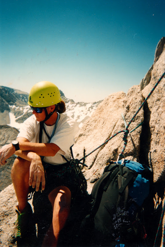
Jack Elliot, who proved his mettle on our recent trip to Indian Cave, is one of them. We met at 04:00 and drove up the 33 in two vehicles. One vehicle was left at the Reyes Creek trailhead at Camp Scheideck, the other was parked at the start of Chorro Grande on the 33. We saddled up and got moving at 05:50 under a starry sky just hinting at dawn.


These first miles were cool but not cold, the skies scudded with pastel pink cirrus. After the usual warm-up nonsense I settled into Chorro's steep grade and we made good time. Chorro is kind of a beast. This trail gains 2600 or so feet in just five miles and I was glad that we'd be getting that elevation jump out of the way right up front. A wise guy once said, in reference to the Chorro trail, "It goes up from here.". Our first snow of the day came at Chorro Grande springs and things just got better and wetter the higher we got.

Reyes Peak summit. This was an incredibly beautiful day.
By the time we'd blown past the Reyes Peak trailhead, snow became a central theme of the day. Before the route to Reyes kicked up I strapped into my yaktrax, those handy cable chains for light boots and trail runners. These things work well on every terrain but stone, and they made breaking trail significantly easier than it would have been if I'd been slipping and tripping without them. We motored up the short but steep tiers of Reyes and made the summit just 4.5 hours into the day. Things were going pretty good thus far, but ahead of us was a half mile of off trail through snow until we found the trail over to Haddock Peak. 

Route checking. Staying on-route became a constant concern.
I'd be full of shit if I didn't admit to you all that I was starting to get a nagging nervousness about being off trail in foot deep snow. I started to wonder about this trail that ran the ridge between the Reyes and Haddock Peaks. With all this snow, and us descending from Reyes, would I recognize the trail or just go right over it and keep steering us down to some f'd up canyon? And just how obvious is the trail anyway? It's not like it gets a lot of traffic! 
So, yeah. These thoughts pinged around in my head until we got on route. We had indeed overshot the trail, but only by about 75 feet. This was not the last time the GPS saved our ass that day, or maybe that's a little dramatic but it did save us some time and energy. 

Nordoff Ridge, the Oxnard plain, and The Santa Monicas.


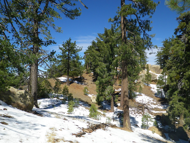
The trail to Haddock traverses a stretch of the prettiest, most expansive views in our SLP. The trail stays mainly on the north side of the ridge, the shadier and snowier side. We crunched through forests of ponderosa, blue spruce, and jeffry pine. The trail frequently passed through random rock formations of rusty sandstone. It rolled through pleasant, sunny meadows and frequently took us to the southern side of the ridge, which is mostly sheer drops and endless views to the coast. On and on we trudged, often stopping for a moment to find the trail, until we finally mounted the final steps to Haddock Peak.  This summit has no USGS marker, but it does have a completely soaked summit register. We had been enjoying the view all morning, so hanging out on the breezy summit wasn't a priority. Next stop: Haddock Camp on Piedra Blanca Creek, where we would leave the Reyes Peak Trail for the Gene Marshall.

Trail? You see a trail, man?

The Cliffs of Haddock Peak.

The summit register on Haddock Peak.


Bear markings. 

Haddock Peak summit, You can see Hwy 33 below.


Reyes Ridge is peppered with impressive rock formations.

Jack and I descending into Beartrap.

We were greeted to an interesting sight as we rolled into Haddock camp. Two new but cheap tents had been abandoned, and a pair of sleeping bags lay in the mud. A pee bottle and various sundries had been cast aside in the snow. Clearly, one party had ignored the weather report and paid for it. As I say, the gear was cheap, of the Big 5 variety, and all of it was new. Just a few folks goin' campin'! The scene had all the markings of a night spent huddling in these inferior tents, being blown about in the black night, snow piling up outside. It was not hard to envision a desperate night followed by a miserable descent to Piedra Blanca. Forget the shiny new gear, just tuck tail and run. And never go camping again.

Upper Reyes Creek.
After a brief lunch at Haddock, Jack and I strapped in and set forth on the next 8.5 miles going northeast on the Gene Marshall trail. We had a nasty but brief climb out of Haddock before dropping into the Beartrap drainage. This stretch, like all of this hike, is very pretty. The trail slips through miles of cottonwoods, oak, and cedar, always on the creek. Another burly climb out of Beartrap Creek put us over a ridge and into the home stretch, Reyes Creek. Just a long roll down to the truck.
We saw hundreds of prints, thanks to the snow. These are bobcat.

This hike was something special. We had been blessed with the weather, perfect in the 60's with robin's egg skies and gentle breezes. This would have been a tough enough walk without the snow, but traveling through that snow for 60% of the day upped the ante considerably, not just in the route finding sense but also in that busting trail through all that snow added a 25% labor tax to the effort. As to the route finding, I carried a map, compass and GPS, but staying on route was primarily puzzle solving. I looked for unnatural features, the sawn log, a dip in the silhouette of a hillside and a corresponding one in the logical distance, the tracks of animals who follow the same general paths in their daily wanderings often use trails. All in all, it was as tough and satisfying a day as I'd ever experienced in the SLP.  This is a five star route.

I have to tip the hat to friend Jack. I know that this hike went above and beyond what we'd both anticipated, and that the snow and elevation just added to effort. I gotta hand it to the guy, he earned his stripes that day. He's got a new appreciation for what can be accomplished in a day. Never complaining, Jack is a self-contained guy and a capable trail hand. I look forward to future endeavors.
For Jack's trip report visit: Jack still can't believe he just did that.

Tuesday, March 13, 2012

The Ojai Triple Crown, a 28 mile masochistic odyssey


Welcome to the 2nd (apparently) Annual Ojai Triple Crown. Take Hines Peak, Topa Topa Peak, and Chief Peak, and do 'em all in a day. Here's the stats, and I'll fill in more below:
Miles:  28.9
Elevation gain for the day:  >7,000 feet
Time from start to finish:  12:40

I start walking at 04:30, an hour made even more distasteful by the time change. It is cool and very dark. Patches of luminous moonlight filter through the trees overhead, but the trail remains a black tunnel extending before me. My headlamp is not necessary, but I employ it anyway. The last several times out I've seen cat tracks and this is on my mind in this darkest hour before dawn. Cat eyes reflect light, thus the headlamp. I feel I am moving at a glacial pace, easing through a black world of small rustles and faint breezes. My surgically enhanced night-vision is voided by the headlamp. Every few minutes I pull a "Crazy Ivan", check my six, sweep my backtrail and the surrounding forest with the light, sometimes stopping just to listen. This is not paranoia, this is prudence.
Last year, on the inaugural slog, I didn't quite know how I would feel or how long the day would take, and as a result, I was more concerned with time. I prosecuted it like a war. On that occasion, I felt like I did myself a disservice, like I rushed the day and consequently paid for it in post hike shin-splints and fatigue. Today I choose not to worry about it. I note only the main points, the start and end times and the summits. I strictly ignore my watch for the rest of the day. Time doesn't matter. I concentrate on efficiency, taking constant systems readings, fine tuning my gait, focused entirely on how I feel. I realize that, if I do this "wrong" I could be paying for days afterward. However it turns out, I have to be able to work tomorrow. There is a real world and today I walk it's trails, for tomorrow I pay it's bills in an alternate, less enjoyable reality.

Above and below, Chief Peak at sunrise.

I shiver for a moment in the dark hollow of White Ledge. So far I am feeling this. This crazy thing I've set out to do. I strap into my pack and tackle the stretch before me. Some time later I take off the headlamp and restore my knife to it's usual location on a back pocket ( I had had it clipped to a glove). I'm warmed up now and my pace feels normal for me and, though I don't care, I am sure that I'm already an hour behind last year's time. I pause for a moment under Topa to stash Gatoraid and a PB &J sandwich. No sense carrying these items up Hines if I'm just coming back this way in a few hours. I leave a similar cache at the saddle that separates the two peaks. I am in the weak morning sunlight now. Hines peak is obstructed from view by a lesser hill but that is where I aim myself and that is what I'll climb.

The moon sets on the flank of Topa Topa.

As the miles unfold before me, and Hines Peak gets larger in the windshield, my mind travels down various paths of it's own. I am in synch with myself and my environment. Things are clicking now. Samadhi. My life's true soundtrack sings to me, the crunch of soft footsteps and the whisper of a breeze in my ear. The trail is a lonely space, a laser line through my immediate universe. Where it leads, I go. Soon I stand before the steep slope of Hines. I imagine myself on that unremarkable summit of sticks and stones. I will myself there and I am.

An ancient bit of detritus, found on Hines.
I sign the log atop Hines for the nth time and remind myself that this place needs a new summit journal. The sun is higher now, but brings little warmth. The Stillman apparatus is running at all systems nominal. I note the time in my journal and exit the peak. On the trail again, my mind wanders it's myriad planes while the legs pump and the eyes rove. I retrieve my cache No.1 and move south toward the summit of Topa. Three crows pinwheel across the summit as I roll up to the stone bench. They call to one another as they swoop and dive. I am not alone here. I ingest the contents of my cache, converting carbohydrates and protein into glucose. Installing fresh reactor rods. I take in the view, which, given today's aims, is somewhat dispiriting. The conical summit of Chief Peak is so very far away. The chance to turn back, to call it a day and be self-satisfied, to retreat, lies just below. So easy to return the way I came and stop this madness before someone gets hurt. Clearly I have sat upon this bald summit long enough. My mind is trying to kill me.

A look back towards Topa taken from afar.
Regulation Time Out. Topa Topa.
Rehydrating the organism. Chief Peak.

As I descend Topa the breeze stiffens and my crows are kiting away. It is just me and the winding vagaries of the Nordoff Ridge. I retrieve my second cache of food and fluids. The miles unwind below me. I am well into this now, having long since passed any egress that would allow an easy out. I pass the radio towers, and a little later I turn a blind eye to the junction pointing down Sisar Rd and Horn Canyon. I will be there soon enough, yet there remains business to conduct. The way lies west now, across the great, looping turns of the road. Chief is before me now, seperated from me by a deep cleft. The road continues it's inane series of twists and turns, doubling the distance between me and my omega point, the zenith, the last of the up. I soon stand below the ragged scar which ascends Chief's southern ridge. Soon after I stand above it looking down, down to the Ojai Valley which is obscured in a gauzy haze of moisture. I enjoy my break on the summit. I realize that I feel remarkably good. I have benefited from a disciplined approach to water and calories, reaping the rewards of experience. Many more miles to go, though, before my distant terminus.


My friends, the crows, have returned to honor me with their croaking seranade. My mind again wanders where it will while I trudge down the long slope. The crows have now startled a large red tailed hawk and are harrying her across the sky. I am descending quickly now. I pop my ears. The trail wends its rocky route and I follow. Down low, less that a mile from the truck, I encounter the first humans of the day.  I catch their scent, smell their shampoo and deodorant long before I see them. They are loud and shuffling creatures, enjoying their brief foray into the woods. They are entirely oblivious to my presence until I am already upon them. I see them through cat's eyes. They behave like prey. They are those who do not see and cannot hear.

Here's what helped cut the mustard:
Water {3.75 Litres}
Gatoraid {1 Litre}
5 Hour Energy {2}
PB & J Sandwiches {2}
Tiger Milk Bars {2}
Cliff Bar {1}
GU or Accel Gels {6}
Advil {1600mg)
and as always, everything I would need to survive for 24 hours if I had to.
By the way, that whole "not looking at the clock" thing paid off. I knocked 20 minutes off the last time I did this, probably because I wasn't even trying to. And by the way, I feel capital.

Wednesday, March 7, 2012

Alder Creek, El Silvestre Sespe, 03/05/12


This is what it's like when blogs collide.
Back to the grindstone. Back to the mill. Back to Indian Cave on Alder Creek, with a new trail mate. Jack Eliott, whose blog has mostly dealt with the Santa Barbara part of the Southern Los Padres, contacted me some time ago and here we are, 10 hours and 23 miles later, plotting our next effort. It had been proposed that we might find a less grueling route for our inaugural trip, but cooler heads prevailed and we were off to the Sespe backcountry for a day of ground pounding. Siempre Adelante.


Things went supremely well on our first joint venture. Jack can hike, and he held up pretty good over the long miles. We got along well and we are pretty evenly paced, all of which means that this kind of thing may become a somewhat regular occurrence.

The main attraction in this neck of the woods is the cave on the Alder, the one with numerous Chumash pictographs. This was either my 6th or 7th time to the cave and I have already documented the paintings as well as I can, which is why I won't dedicate any time to those on this post. I'm sure that Jack will be putting some up on his blog, but if you wish to review the paintings click below.

Needless to say, Jack was blown away by the cave and the number of well preserved pictos. After the long haul to get there, it's nice to have a worthwhile destination. I don't think that Jack was disappointed. I, on the other hand, turned my lens to the areas more natural scenery.

Above: remnants of trail can still be found in the Upper Alder, but these are what's left of centuries old routes. The norm, as Jack discovered, is to bust through a profusion of brush. Climbing over dead-fall trees, tripping on "wait-a-second" vines, floundering through brushy creeks, and eating firewood is part of any good day in the Sespe, but these attributes are on full display in the Alder.

Left and below: Other aspects of the cave on Alder Creek

Alder Creek at the campsite under the Cave.
The campsite under the ancient oak. A very peaceful place.


Water levels in the Alder are good right now. That is due almost entirely to the banner rainy season we had last year. I'm projecting that the Sespe backcountry will be a very dry and nasty place this summer.
 
Above and below: the first blooms of spring. 
Above: California Rhododendron, Rhododendron macrophyllum
Below: California Poppy, Eschscholzia californica