Thursday, November 27, 2014

Wasting Away Again In Manzanitaville


Mike Shields enjoying the natural wonders of Trout Creek.

Happy Thanksgiving everybody. I just got back from shooting some fish off County Line, which is how I am recovering from this strange odyssey of brush ninja meanderism. Salt water immersion is good for a minor case of poison oak. Nothing from this day is worth a recommendation. Some days are just like that. I contemplated not even posting this one but figured that I could write this as some kind of public service "don't go here" announcement.

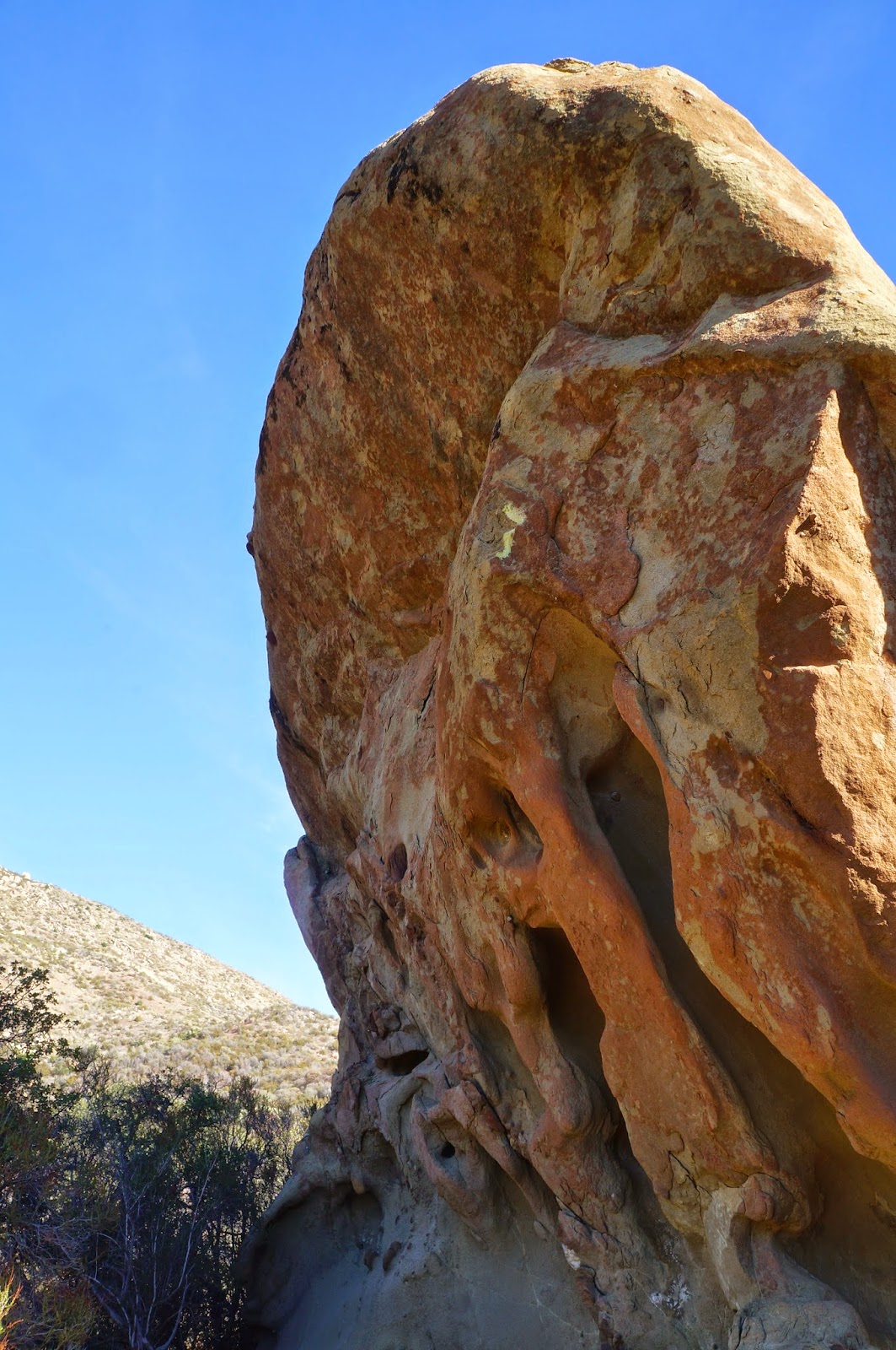
Thorne Point, from above the Sespe.

The green line follows this day's wandering weirdness. Don't try to make sense of it.
The day was initially about a resumption of my exploration of Trout Creek.  I have (or had) a reason for this recurrent interest in an otherwise unpleasant drainage. In light of my recent experience there I am still undecided about wether to give up on that particular notion. Mike has his own interest in the area, a lingering and unresolved matter which I'm sure is nagging at him like a toothache. For the time being I'll remain vague about these concerns, hopefully maddeningly vague.

We pretty much went all over most of the terrain in this photo.
Back to the day in question, we pounded down the Sespe River Trail out of Rose Valley. Mike had identified an old dozer track that looked like a promising way to access the upper half of Trout, so we kept on truckin' right past where Trout empties into the Sespe. Mike's guess was good, a stout little climb which put us over a ridge and into a scrum of brush which we descended into the middle part of Trout. By the way, Trout Creek is a misnomer... there's no trout there.

We headed up Trout for a bit before climbing out of the west side of the creek to investigate a bouldered flat, didn't find anything of interest, dropped back into the creek and proceeded further upstream. Things got ugly mighty quick. "Ugly", in this case, is a descriptor which I've employed as an understatement. Take the ugliest horse you've ever met, mate it with a triceratops, expose the offspring to gamma radiation while in utero, name the baby Bertha, and then you see the analogy I'm trying to make. Even in this remote and thoroughly fucked up drainage we found a marijuana grow site.  It's true. These people have staked a claim in every watershed in our forest that doesn't have a trail running up it. 
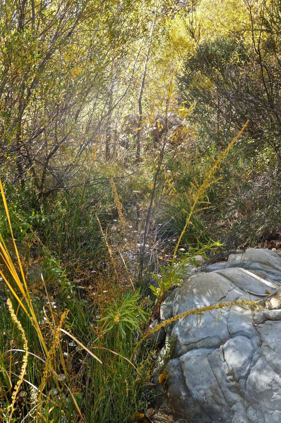


Green Hell.
Another pot site. 
We traveled far up Trout until we were basically under Thorn Point, not that we could see any of that peak through the jungle we had ensnared ourselves in. By that point we were fed up with vines and sticks and brush and deadwood, and without any real goal for being there we started questioning why this had happened to us in the first place. I mean, we're intermittently nice people! What did we do to deserve this? With that thought we turned it around.

Sadly, descending and escaping from the creek led us in a whole other direction, one which changed the type of brush but not the quantity. I swear, this forest has developed a taste for human blood. So, stupid guys that we are, we worked up this bright idea to pioneer a new route out of this mess and back to the Sespe. We worked eastward up a twisty wash, crawling on hands and knees through numerous brush tunnels, fighting tooth and claw to advance our new found cause. My rich and colorful brush dialect became a monotonous kind of droning, accented by the sounds of lumber snapping and nylon shredding. We escaped from this pernicious gulch, climbed to a saddle, and there before us was a hideous sea of brush. Before continuing we turned back the way we had come and issued a big "Fuck! You!" in that general direction. We dropped off the saddle and in about ten minutes found ourselves reversing the same kind of crap we'd been doing all day. Another inglorious gully. I hung back for a bit and watched Mike struggle with this latest iteration of hell. I have to say it was great entertainment, though Mike didn't appreciate my laughter. Sorry Mike.

Some time later we encountered a deer track that diagonaled up and out of our little Eden. We'd had enough. Follow the deer. This path was better than many of the regular trails in our forest. In short order we topped onto a slender dragon's back ridge which descended steeply into the Sespe. This was easy street and it wasn't long before we turned west on Interstate Sespe headed for home.


Deer tracks, the handy bypass routes of the SLP.

Saturday, November 22, 2014

Busted.


Some of you have noticed that the post detailing the descent of Deadman and Tecuya Canyons has been removed. Several days after posting that trip I got nasty-grams from both the Kern County Sheriffs Department and the Wildlands Conservancy (AKA the Wind Wolves Preserve) because I'd been trespassing on their land the moment I stepped foot into Tecuya Canyon. The ensuing conversation with the manager of the Wind Wolves wasn't particularly harsh but it was made crystal clear that if I set foot in the place again without prior authorization they will prosecute. I'd always wondered how zealous those folks were about their patch and now I know. Apparently they take their mission seriously.

This is by no means the first example of me being called out for providing evidence that I'd been somewhere I shouldn't have. Also, I'm beginning to think that various groups and agencies, or activists within them, are paying some attention to whatever mischief Stillman is up to. There have been plenty of days in the sticks that I've chosen not to share and this day should have been one of them. The takeaway from this episode is, a.) know when you're trespassing, b.) don't put it on social media, and c.) if caught, play nice and don't make things worse than they already are. Undoubtedly someone will comment that the real lesson is not to trespass in the first place... well, duh.  
I still think there are too many fences in the world.


Wednesday, November 12, 2014

Argh!!! Winter Road Closures!


Dammit!!
A tank of gas and 3 hours wasted! 
Before you say I shoulda called the Mt Pinos Ranger District, yesterday was Veterans Day so they were closed anyway. There's a lesson here. And I was really in the mood to do what I'd planned too.
Well shit.


Tuesday, November 4, 2014

A Descent of the West Fork of Piedra Blanca Creek


Amazing.
Jaw dropping.
5 Stars.
A virginal forest of arboreal delights.
I think I'm in love.
Can it get any better than this?

Click any image to enlarge it. I think you should.

This descent has been on my list for quite a while. For years I've not been shy about asserting that the Reyes Ridge hosts the best of our forest. There are beautiful places and hidden gems all over the place, but the high country between Pine Mountain and San Rafael Peak are where my heart lies. Cedars and pines and dark hidden places and moss lined creeks and rocky buttes and blue jays and bears... my kind of paradise.


In an enduring effort to know this region as well as anybody I've been eyeing a number of places that people just don't go, which leads to what went down on this day. Jack Elliott and I left the Sespe/Piedra Blanca trailhead on a crisp and clear sunrise. We burned up the miles through the Piedra Blanca and Twin Forks campsites, downshifted up the grinding climb out of the creek, and crested into Pine Mountain Lodge two and a half hours later. We stopped at the old campsite for a time, steam rising off our backs,  sweat turning to frosty wet in the forty degree air. After a bit of breakfast and some basking in the chill sun we tightened everything down for our real raison d'etre.  I had an inkling what this descent would be like, but in the end my own preconceived ideas fell far short of the gorgeous reality below.


We followed the sandy wash out of Pine Mtn Lodge, headed downstream and west. In short order we were oohing and aahing at the huge trees, shallow pools, and sculpted slabs framing either side of the creek. It seemed that we were instantly transported into a primordial forest of Disney-like character. I was just beaming inside. Oh hell yes. This place was a true beauty. We continued downstream through a subtle turn to the south, sunlight dappling through the forest canopy, water trickling beside us, and soon we reached a small branch coming in from the west. Here the creek was a shallow brook  turning back to the southeast, coursing through grasses, huge cedars, alder and spruce everywhere, massive boulders randomly parked along the stream. Heavenly. All through this uppermost portion of the creek we'd had little trouble, a well worn bear trail guiding the easiest path forward.


 Deeper into the southeast turn of the creek we emerged from this eden into a new iteration, a broad avenue of boulders framed by cedar forested slopes. Electric green moss grew on many of the larger boulders. Birds zipped through the trees. Gravelly sinks lay where water would pool in wetter years. We rock hopped along, pausing frequently to just take it all in. Occasionally a natural dam of deadfall wood presented a worthy obstacle but by and large we just bounced along unhindered. And it just kept going.


We gradually descended into another elevation of forest, a different stretch populated by old growth trees, alder, spruce, and cedar, but more densely spaced than in the previous mile. Again there was water in the creek. This was a magic mile which provoked many more exclamations of goodness. Somewhere in it I rounded a large tree and just 50ft away was a big ole bear (below). I hand signaled Jack and together we watched that bear for a while. He knew we were there and moved up the slope a bit, completely unalarmed by our presence. At one point he turned around to look straight into us for a good 15 seconds before vanishing into the forest. In the creek below, the water was muddied, and big wet paw prints revealed where he'd come from.

Bear.


A bit later we encountered a fractured cliff face which was easy to descend. Water dripped from cracks all along the base of this falls, and lush ferns grew out of the rock on its shady side. In the center of the falls was a deep and mossy grotto. It was early afternoon by this time and we broke for a snack. I observed that this drainage just seemed to go on and on without end. Neither of us were disappointed by this, but we both knew that somewhere below, once we'd descended into the chaparral zone, things were bound to get ugly. An hour later we encountered a 30ft waterfall which was easily bypassed, but that falls seemed to be a message that the beautiful sights and scenes were about to come to an abrupt end. Indeed, soon after we were in a scrum of extraordinary proportions.


Somehow we prevailed over the forces of nature. Undoubtedly the prodigious use of profanity helped grease the way. Suffice it to say that the last hour before popping out at Twin Forks was unpleasant, wet, and tiring. I got garroted by a thorny vine, slapped in the eye by a tree branch, poked in the eye by another, and was totally ensnared in a brush trap which, while fighting out of it, rudely ejected me face first into a pool of water. Good times. A small price to pay however, considering the forested Disneyland we'd beheld.

*The terrain in this drainage is not technically all that difficult, but a good head for solving descent "puzzles" would be helpful in saving time and energy. That being said, this drainage feels long. Hell, it is long. We were both pretty worked by the time we popped back out onto the PB trail. There are consecutive miles of boulder hoping, scrambling, down climbing, up climbing, butt sliding, crab walking, elbow crawling, tree climbing, log walking, and brush fighting involved. Before we even entered the brush zone just the realities of this rocky descent had beaten us up but good. Given the nature of the terrain I would advise following parties to be on guard for that insidious sloppiness that comes with being tired, for there are one million and one ways to injure oneself in an environment such as this. But go, go and leave no trace. The beauty here rivals anything in our forest.


Saturday, November 1, 2014

A Preliminary Exploration of Trout Creek

Thorn Point cresting a sea of brush.

With only a half day to ramble, and responsibilities haunting my clock, I decided to do a brief recon of a little known and thoroughly feral drainage called Trout Creek. Anybody who's walked the Sespe River Trail has probably rolled right past this innocuous feeder creek without giving it a second thought. What makes it somewhat intriguing to me is that I'd never heard a single thing about it, even though it flows from directly beneath the prominent south face of Thorn Point. 

Now that I've spent a morning getting to know this little mess of a creek I am feeling compelled to go back and take a day seeing just how far up there I can get. I can say that the lower half of the drainage is a nightmare of brush, nettles, poison oak, tangled limbs and deadfall trees. It's not fun. It is, however, unique in one key way; there is no evidence of humanity in that drainage, not even the expected remnants of a Mexican grow operation. This in itself is remarkable given that every time in the last two years that I have felt I was sufficiently "up a creek" I have stumbled into the ubiquitous black irrigation hoses.

Though I only had a few hours to work with I was able to proceed upstream until I was at roughly the same latitude as the Piedra Blanca Rocks, which lie a a mile or so to the west. Perhaps the drainage opens up a bit beyond where I had to turn back. Perhaps not, and Trout Creek remains an extraordinarily clogged little stretch of forgotten drainage. In reflecting on the morning and it's unpleasantness I have concluded that I may not be quite done with this one yet

Thorn Point and Trout Creek.

Even the open ground was a morass of yucca and wild rose.
One of the nicer parts of Trout.
This is a bit more typical of this drainage.


Thorn Point, from where I had to turn it around.