 |
| A beautiful view of Carpenteria and Santa Cruz Island from near the summit of Divide Peak. |
Back at it in the SLP, with a peak that's new to the blog: Divide. I'd first visited this pretty peak while on a motorcycle ride that started on East Camino Cielo above Santa Barbara. That was some time ago and I'd always looked forward to one day hiking the thing. What makes this peak something special are the views from up top. Turn a 360 on the top and one sees the Channel Islands, Carpenteria and Ventura, Jameson Lake, Lake Casitas, and both the Matilija and Juncal Canyon backcountry. It's a "view" peak. Getting there and back from the Matilija trailhead makes for a strenuous 13 mile day.

Ruth and I started early to get a jump on the heat. We left the Matilija trailhead with the sun just brightening the eastern sky. Just past the ranch we took a left and proceeded up Murietta Canyon on the single-track trail which eventually (1.8 miles later) terminates on Murietta Canyon fire road. This opening stretch of trail was easy and pretty. Our path meandered up the canyon through tall forests of maple, alder, oak and cottonwood. The route is shady and the trail is pretty good for most of the way up to the road. We rolled through Murietta Camp which is a creek-side flat shaded by tall oaks. As we walked up we saw intermittent water in Murietta Creek, and just a seep of ground water at the camp. Above the camp the trail sees much less use and is a bit overgrown in places but easy to follow. As with it's near-by sister canyons, this stretch is poison oak city so keep that in the back of your mind if traveling this way. This is an easy stretch, and before long we popped up out of the canyon and met with the Murietta Canyon fire road.
 |
| Murietta Camp |
 |
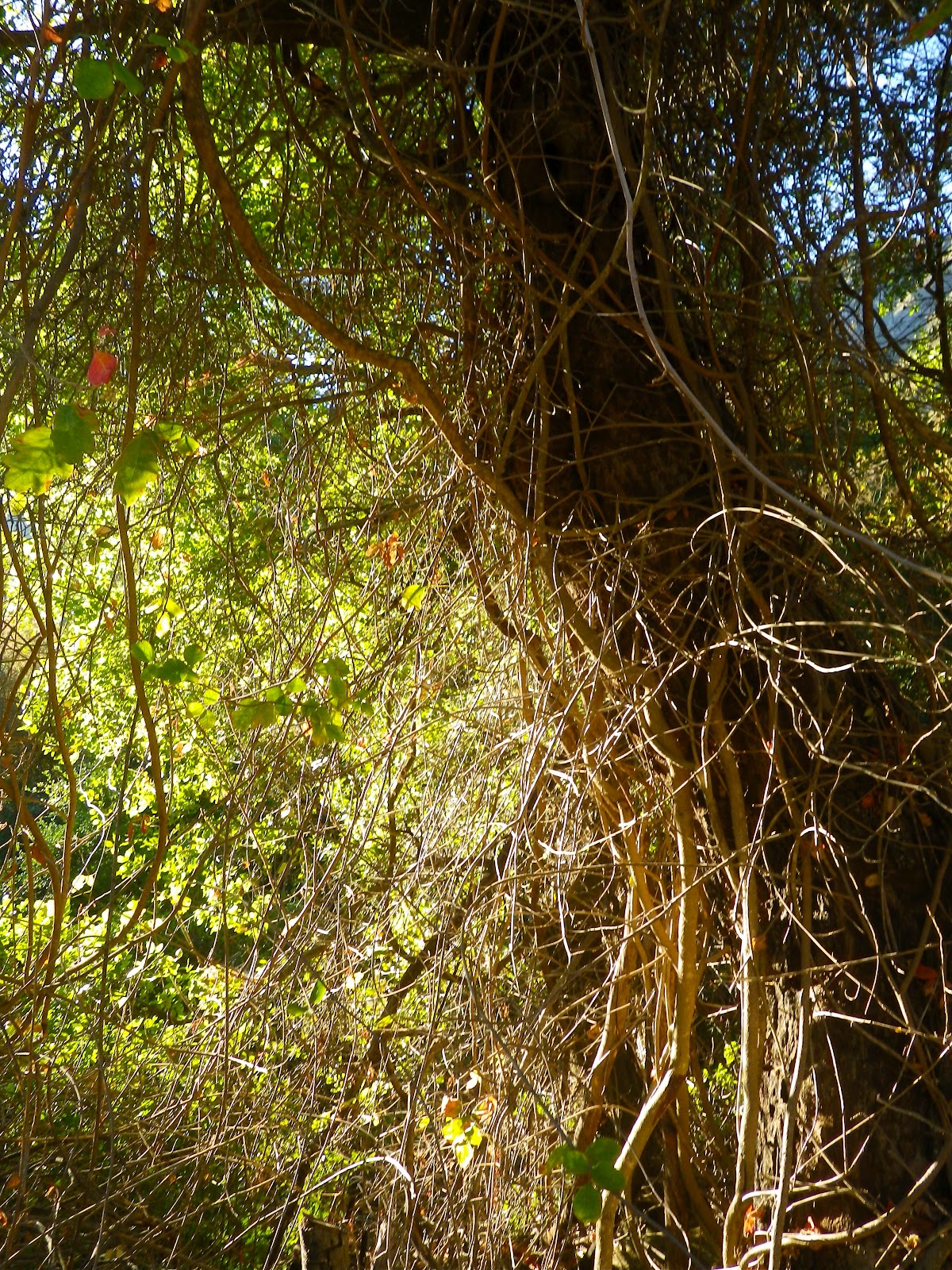
| Murietta Trail. |
 |
| Murietta Cnyn is stocked with beautiful old trees. |
 |
| Check out what this poison oak plant did to it's oak tree. |
The fire road is easy street. It had recently been graded and this long, steady grade was just a nice walk. Every once in a while we could see down into the canyon through a canopy of trees and at one point high above the canyon floor we could hear a nicely running stream. This early in the day we managed to get a fair amount of shade along this long stretch. The angle steepened considerably a short distance below Murietta Spring, and it just kept climbing from there. The reality of this hike is that even though the hiker only gains 3,200ft over the day, it all seems to come at once. Roughly half of the entire elevation gained on this hike happens in a single 1.5 miles of climbing. The 0.8 mile stretch between Murietta Divide and the Divide Peak motorcycle trail is particularly gruesome: 1,200 feet of brushy and loose climbing in under a mile. Steep.
 |
| Murietta Spring, just a mosquito clouded trickle now. |
I would be remiss if I didn't do something to illuminate what could be a confusing junction at Murietta Divide. As implied, a "divide" does just that. In this case, we are talking about the saddle separating Murietta and Juncal Canyons, and the divide between the coastal front range and the interior. This junction is unmarked. There are no signs denoting the Divide or the trails that split from the junction, so don't expect signage cuz it ain't there. I figured there'd be a sign and since there wasn't one I figured I ought to share a photo of the Divide with it's attendant trails (see below). I walked right by the completely unmarked and un-obvious take-off for the summit ridge, so maybe this will spare somebody a few minutes of head scratching.
 |
| Juncal Canyon and Jameson Lake. |
Once I'd straightened out where to start climbing out of the Divide it was time to take on the gnarliest climb of the day. This 0.8 mile, 1,200ft grind is just un-fun. We just put our heads down and blasted up the damn thing. I am super impressed with my wife, she don't have any quit in her. I "love" big hill climbs and this one was no different, except that Ruth got in on the act. We made it a "Mmmm Good! Get Some!! Fuck Yeah!!" kind of climb, and she just blazed it. I love it. We just put that hill behind us and we were soon atop the coastal ridge. I instantly remembered the numerous rocky outcrops that decorate the ridge, sprinkled here and there across the small summits of this astounding crest (and if you ever get a chance to ride the motorcycle trail as its meant to be ridden, jump on that opportunity: link:
A Ride in the Clouds.). As we continued west on the ridge trail we enjoyed a coastal breeze and endless views in all directions. This is one of those views that very few will enjoy, and if you live in this neighborhood I think this is one hike you should do.
I've got one more thing to add regarding that brutal climb from the Divide to the crest. The trail itself isn't difficult to follow, but the brush is most definitely trying to wipe the trail off the map. I wouldn't call the brush bad yet, but in a couple more years it will be. It is obvious that the trail gets little human use, as in, I saw zero people tracks on it. I did, however, see mountain lion, bobcat and bear prints on it. Bears doing trail maintenance.
 |
| Ruth high above Murietta canyon, which is the green valley low and right in this photo. |
 |
| The view on the crest, looking west toward Divide Peak, in the distance. |
 |
| Views! Looking toward Ventura and the Pacific. |
 |
| The motorcycle trail heading west to the summit of Divide Peak. |
 |
| Divide Peak, at least where they put the marker, from the actual high point of the ridge. The motorcycle trail continues west above Montecito and Santa Barbara. |
 |
| Click Me! |
 |
| One of two Divide Peak ironies: there is no USGS marker that actually says Divide Peak. The other irony is that the true apex that should be called Divide Peak is 1/10th of a mile back to the east. |
Ruth and I continued west on the moto trail, ascending two minor, but steep hills. The second of the climbs put us on the actual high point on this 20 mile stretch of coastal ridge-top. This is the true summit of Divide Peak, however, 1/10th of a mile and 100 feet below and west is where the USGS marker can be found. It actually kind of makes sense because the angle of the ridge makes this lesser summit more amenable to the 360 views. This point is easy to spot and is capped by a pair of water tanks. In addition to playing with the "summit locale", the USGS marker that can be found atop the "peak" doesn't actually say "Divide Peak" but instead says simply "Juncal".
We enjoyed an hour's worth of recovery on top, taking in the endless views of the Channel and coastal towns and lakes. The ridge itself, looking west toward Santa Barbara, and the views into the San Rafael Wilderness are worth the walk.
 |
| Ruth atop Divide Pk. |
We finally turned back the way we'd come, picking our way down the steeps until we reached the road and then it was just a long roll down into the 100 degree heat of the Matilija backcountry. This days' adventure was a good piece of work, surprisingly tough, and very satisfying. I'd like to see some more traffic on this route and I highly recommend taking a walk up to Divide Peak.
 |
| Hot, hot, 100 degrees hot all the way down those long miles back to the truck. |


Nice. I've ridden out to Divide on my mountain bike from Romero Saddle. Have yet to walk it from Murietta Divide but certainly will one of these days.
ReplyDeleteI've always wanted to camp out amidst the boulders and pines up there for a wild night of weather. Might be a fun option once the Franklin Trail opens up again from Carp.
From what I hear, that trail may take quite a while to get put together. I'd kinda one day take a serious view of the ridge east of Divide. It looks.. ". Fascinating". The old "Pacific View".
ReplyDeleteThere's no rock art on those ridge top boulders, but the place has that kind of feel. I'm thinking a full moon night over the lights of Carpenteria would be something.
Don't underestimate the climb from Murietta Divide, it's mean.
I've got a couple ideas for fall that I'll be approaching after Jack and I finish Sespe Connect, which won't be long now. Glad to be back in touch.
How many hours did this hike take? Love your blog. Very useful information & great pics. Thank you.
ReplyDeleteHi Cortney,
ReplyDeleteI'm not sure how fast you move but it seems safe to say it should take 5-8 hours. -DS
Thanks, David. The last time my friend and I hiked Murietta (all on the main road), we averaged 19:29 min/mil and hiked 10 miles. I'm guessing it'll be 5-6 hours total to make it to Divide Peak.
ReplyDeleteMy friend and I did this hike yesterday. Absolutely beautiful!
ReplyDeleteGreat description. My buddies and I will do this hike later in the month in anticipation of including it as a segment in a longer hike next month. Any additions or updates to the description based on recent experience?
ReplyDeleteEric, this is a good one. There's a neat boulder field worth a look just east of Divide summit. The route will not have changed any. It IS a steep day. For additional fun you can add Peak 4864 (TR can be found on the side column of this page). 4864 is the highest summit on the Santa Ynez Range of coastal mountains. Luck. -DS
ReplyDeleteI wonder if you noticed on the north side near divide peak a large fenced area. That is a chumash burial ground.Can't think of a more beautiful spiritual place to be buried.
ReplyDelete